Chance to Have a Say on Marae Moana
Monday October 29, 2018
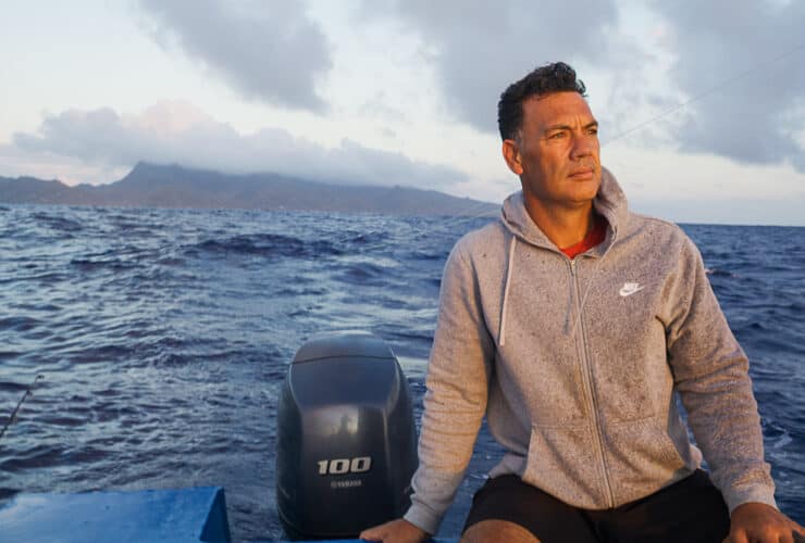
The tiny team working to give Marae Moana life is, until next week, inviting feedback from the public about what ocean-based activities need managing and how much. Comments will inform a process called marine spatial planning, which determines what’s allowed where within the Cook Islands’ oceans.
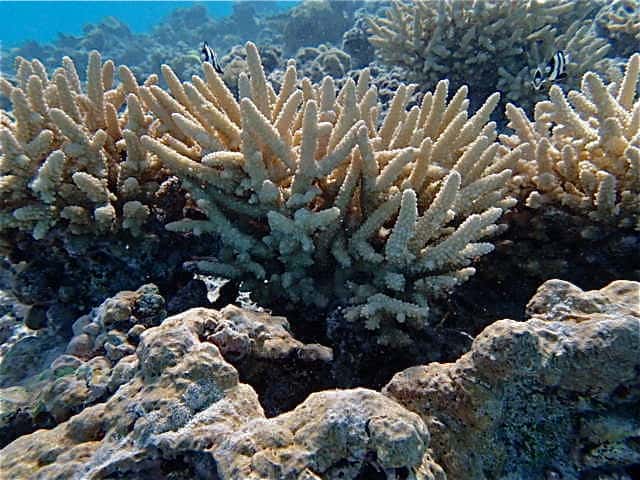
While Marae Moana legislates exclusion zones around each island – rings extending 50 nautical miles from all shores, more work remains. For some time, there has been a debate about whether most protected areas are just publicity stunts, rather than real tools for chipping away at the unsustainable exploitation of marine environments.
There’s even a term for national and marine parks that have websites and press but little else: paper parks. Years ago, columnist George Monbiot wrote in The Guardian: “A marine-protected area in the United Kingdom is an area inside a line drawn on a map – and that’s about it. In most cases, the fishing industry can continue to rip up the seabed, overharvest the fish and shellfish, and cause all the other kinds of damage it is permitted to inflict in the rest of this country’s territorial waters. With three tiny exceptions, our marine reserves are nothing but paper parks.”
The Marae Moana coordination office based at the Office of the Prime Minister is in the process of making sure Marae Moana doesn’t become a “paper park”. The first step is marine spatial planning, a process that involves consulting people on every island in the Cook Islands, as well as scientists and experts, about which zones should be protected from which activities and to what extent. A schedule is being advertised and circulated to people who ask for it.
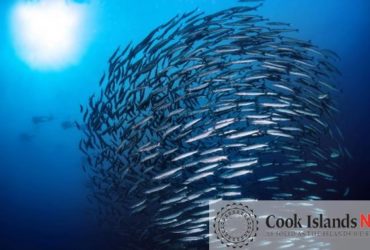
The 10-page schedule identifies marine-based activities, their impacts or potential impacts, and the laws (or lack thereof) pertaining to them. The list is long. It includes maritime transport, oil and waste cleanups, ship scuttling, wreck retrieval, ocean dumping, aquaculture, collecting aquarium fish, subsistence fishing, artisanal commercial fishing, large-scale commercial fishing, whaling, disposal of sewage, seabed mining, research, renewable energy generation, marine-based tourism, construction and maintenance of coastal infrastructure, and sand mining/dredging.
The impacts of these activities range from pollution to ciguatera to the extinction of species. Marine spatial planning will, ultimately, shape a management plan for Marae Moana. The plan will feature zones for general use, a restricted commercial fishing zone, a buffer zone where no seabed mining is allowed, and protection zones in which seabed mining and large-scale commercial fishing are prohibited. Inside these zones, marine-based activities will be either prohibited, prohibited without a licence or permit, or permitted.
The team making Marae Moana happen is committed to keeping the process of marine management open and accessible to every person in the Cook Islands. According to a study of 45 marine-protected areas in the Philippines, a high level of community participation in decision-making is one of five critical factors for success—for becoming more than a paper park.
For a copy of the schedule, contact [email protected] or find Marae Moana on Facebook. Comments are being accepted until next Friday, November 2. – Release/Marae Moana